Middle Bass on the Web - Your Source for Island Information


Home

News / Events  

News Archives/Wire 

Webmaster's Log

Welcome

Getting Here

General Info

Yellow Pages / Lodging   

Photos

Store   

Kid's Corner  

Navigation

Site Map Page 1

Site Map Page 2

Site Search  

History                             

Island History

Area History

Bibliography           

Links

Lake Erie Island Links 

Ottawa County Links

Fishing Info

News Links

Weather Links  

More Islands

Community

Calendar  

Free Stuff

Guest Book

Contact Us

Legal

About Us / Tips 


August 9, 2003


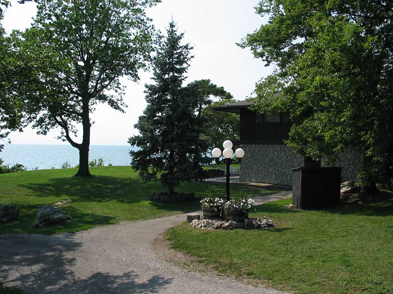
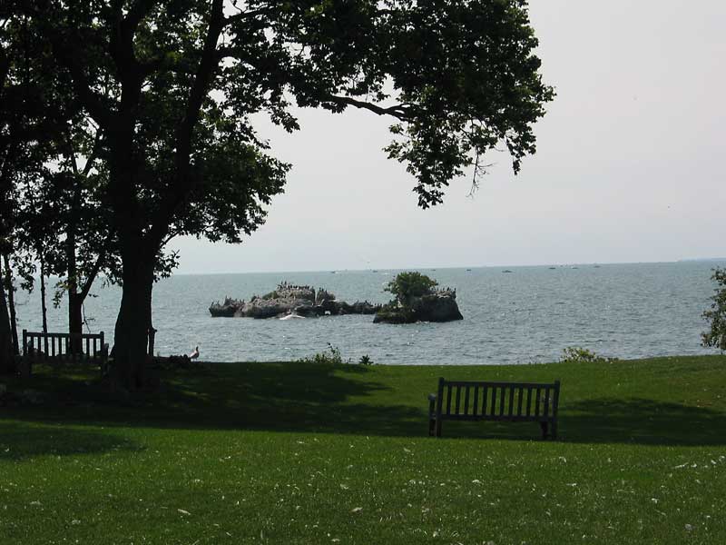
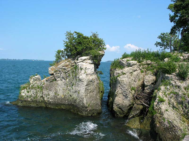
Photos of/from of Rattlesnake Island


Rattlesnake Island is a private island readily accessible only to the 65 members of the Rattlesnake Island Club. There are only about fifteen private and exclusive lots on the island. Most of the members just travel to the island to take advantage of the excellent and private facilities, including a bar, restaurant, large pool, health club, tennis courts, bocci courts and much more. The summer staff is 28, and there are separate dorms for the men and women working there. There is also a year-round caretaker.


Click for a 4-inch wide 1966 detailed aerial view, or here for the full 8.5x11 view (800kb).

More recent aerial views can be found at www.putinbayphotos.com


View East from the East End of Rattlesnake Island

Sugar Island (left) and Middle Bass Island (right) with North Bass Island slightly visible behind and to the left of Sugar

One of the Classic Homes on the West End of the Island

Floor with an Embedded Map of the Lake Erie Island

This is the floor of the porch of a cottage on the west end

The Rattles

These two rock formations off the west end are considered to make the island look like a Rattlesnake from a distance, hence the name.

The West End cottage from the West.

This is the cottage with the map of the Lake Erie Islands on the porch floor

Blue Harebells

This beautiful flower is native to the Lake Erie Islands and is considered an endangered species.

Rock Formations on the North Shore

North Bass Island is on the left, and Middle Bass Island is visible through the opening between the rocks.


All Contents Copyright © 2000-2003 by Middle Bass on the Web, Inc. All rights reserved.

Reproduction without written permission is forbidden for any purposes other than personal use.

Revised: 21 Jul 2008 06:54:49.

This page has been accessed times